Find other trails from your selection here
Percurso Azul da Mata dos Medos - Paisagem Protegida da Arriba Fóssil da Costa da Caparica
Rede de Percursos nas Áreas Protegidas
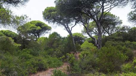
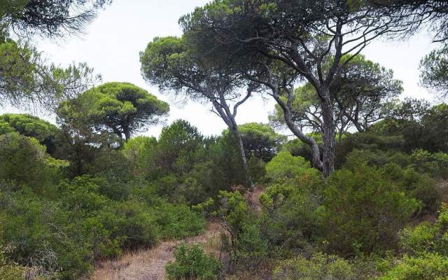
This route starts at the Zimbral picnic park, following the blue arrows in a path that the use of shoes suitable for walking in sand it´s advisable. It follows a narrow path from here, along dense bushy galleries made up of Kermes oak, mastic tree, Phoenician juniper, myrtles, strawberry trees and Mediterranean buckthorn. This path allows you to contact with Medos National Forest (“medos” means dunes), in a quiet and calm environment and to observe the dominant plant species, the stone pine (Pinus pinea). Under the canopy of pine trees, there are several shrubs, the most important being the Phoenician juniper (Juniperus turbinata), whose unusual size, together with the centenary maritime pines, led to the classification of this forest as a botanical reserve. It was planted during King João V reign to avoid the advance of sand towards the interior agricultural lands. The forest has isolated Maritime (Pinus pinaster) and Aleppo pines (P. halepensis). In terms of shrubs there are also Kermes oak (Quercus coccifera tolerant to dryness), mastic tree (Pistacia lentiscus), strawberry tree (Arbutus unedo), Mediterranean buckthorn (Rhamnus lycioides subsp. oleoides) and aromatic myrtle (Myrtus communis). In a lower stratum appear the salvia cistus (Cistus salviifolius), a pink rockrose (Cistus crispus) and the butterfly lavender (Lavandula luisieri). There is a fire-breaker (oriented E-W), a strip without vegetation, to protect forest from fires, that has a viewpoint at the end, where you can see the coast as far as Sintra, as well as Costa de Caparica, the beaches, Dunas woods, with its extensive Jackson wattle an invasive acacia from Australia (Acacia saligna). Admire also the fossil cliff, so called, because it is no longer bathed by the sea and don’t function as a cliff. In fact, the epithet ""fossil"" has to do with this fact and not because it has fossils. Then follow to the 2nd viewpoint from which you can see, to the south, Espichel Cape. In this route is the highest elevation of the fire-breaker, a dune that forms part of the ancient dune system, formed about 2000 years ago due to west winds.
Types

Your opinion is important. Please rate your experience.
Programmes
View MoreClose
Search results for:
No results were found matching your search. We suggest changing the filters used.


