If you want to view other regions, please select below
Alentejo, cycling and walking
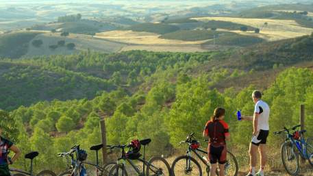
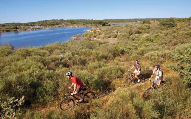
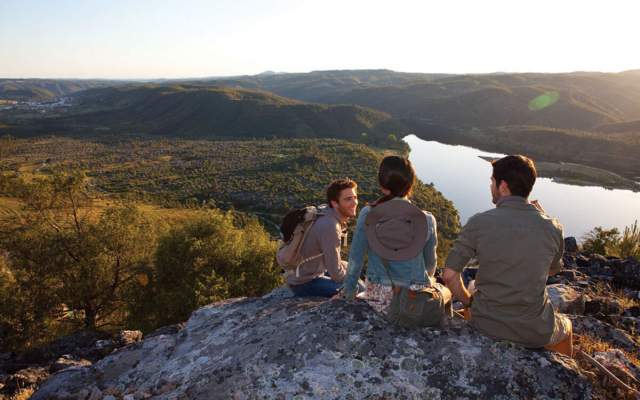
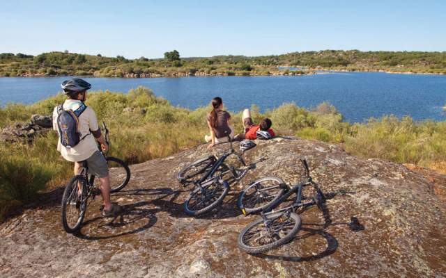
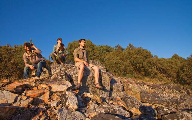
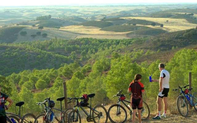
Portugal’s largest region, with an area of over 31,000 km2, covering more than a third of the country, rich in natural diversity, landscapes, heritage, coupled with a low rainfall climate and almost 3000 hours of sunshine a year is a destination waiting to be discovered. We invite you to explore the Alentejo through the large network of cycling and pedestrian routes the region offers.
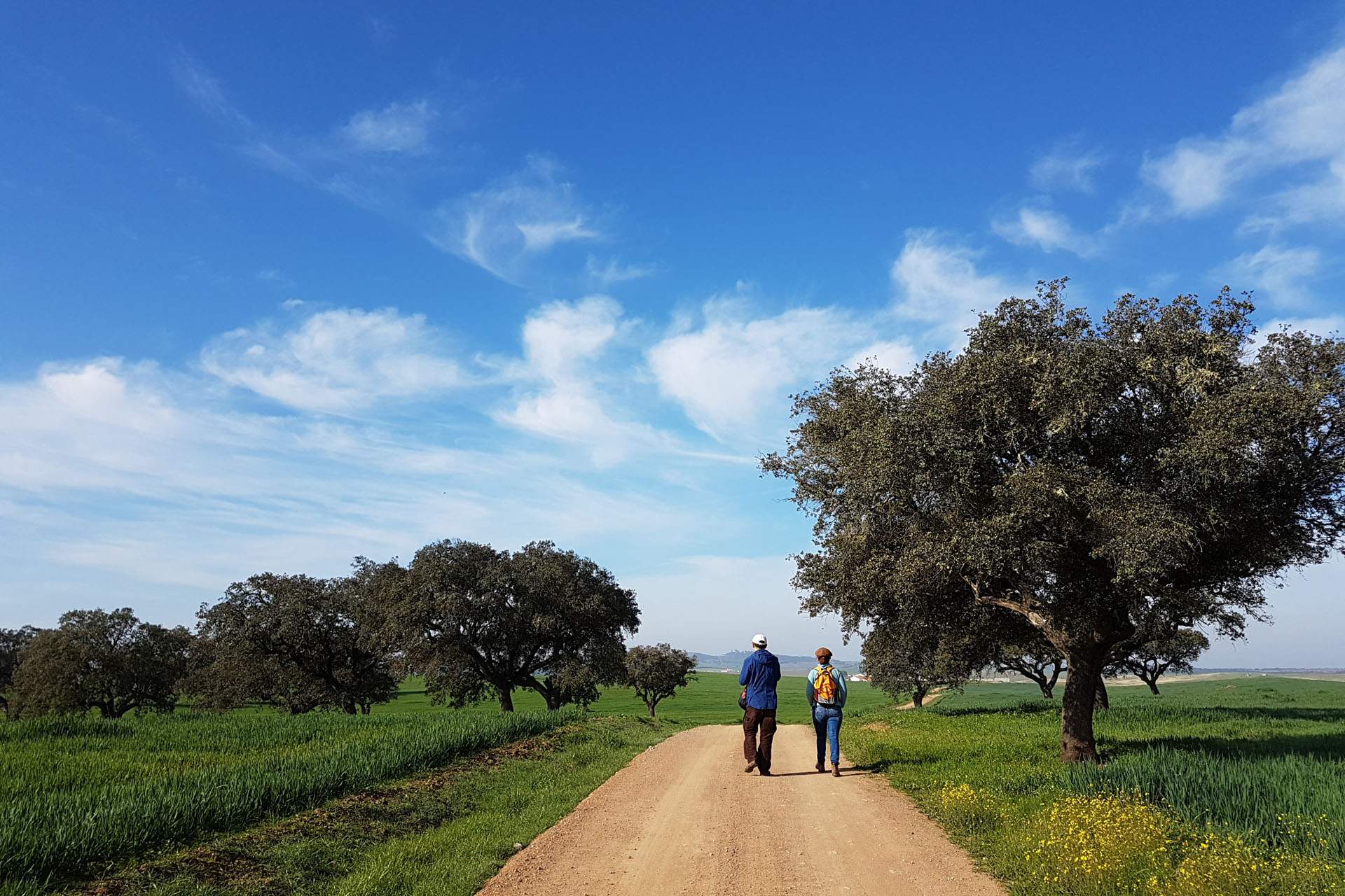
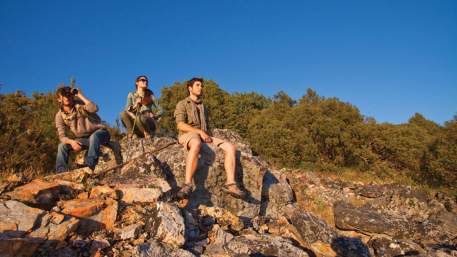
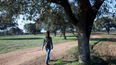
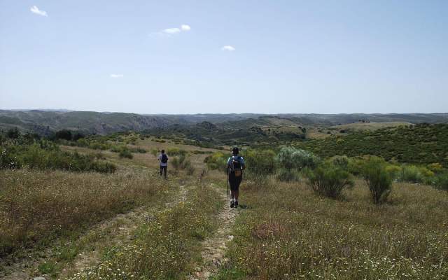
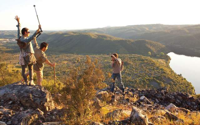
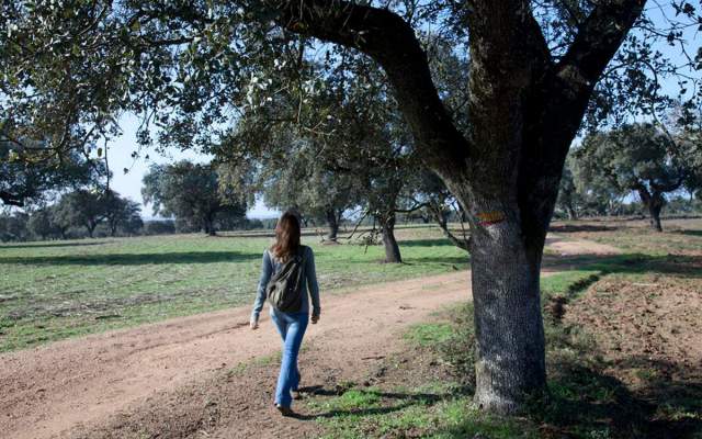
Inland, the Alentejo Feel Nature footpath, in the northeast of the region, covers the Serra de São Mamede Natural Park, the only point above 1000 meters of altitude, and the Naturtejo Geopark, a mountainous area with a temperate climate, cork oak groves, olive groves, rivers and streams, punctuated by prehistoric monuments, Roman cities, medieval castles and small villages. This network has 30 small and 3 large route, which total 435km and enables you to experience the best that the green Alentejo has to offer.
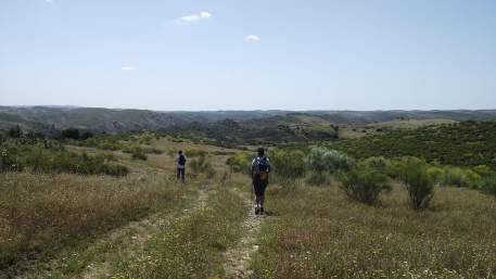
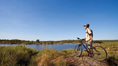
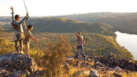
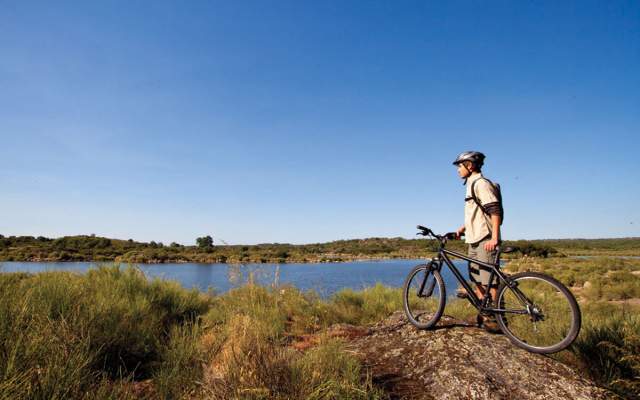
To the south, along the border with Spain, the TransAlentejo Alqueva network is located in the river Guadiana’s area of influence and close to the large Alqueva dam, a region of rolling landscapes, large agricultural properties and a rich biodiversity. These 11 short pedestrian routes, totalling 159km of trails, represent the Alentejo with vast horizons, olive groves and vineyards, pastures that flocks of cattle fill with the sound of bells, the whiteness of villages and the whitewashed hills, and the unique light of the South.
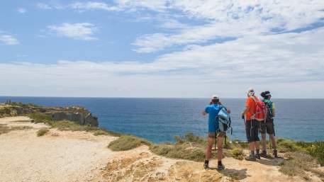
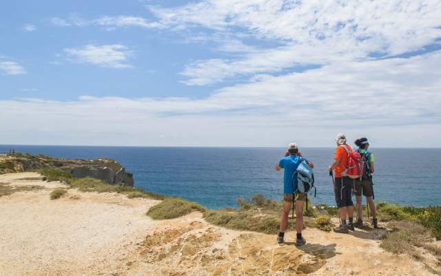
To the west, discover the charms of Rota Vicentina: Trilho dos Pescadores (Fisherman's Trail), demanding and exclusively pedestrian, follows the shoreline for 120km, between Porto Covo and Odeceixe (Algarve), accompanying one of the wildest stretches of coast in Europe, in the Natural Park of Southwest Alentejo and Costa Vicentina. Here you will find magnificent landscapes of rocky beaches, cliffs and small fishing ports and a huge and delicate botanical wealth. Whereas the 230kms long Caminho Histórico (Historical Route) connects Santiago do Cacém to Cabo de São Vicente (Algarve) via forest paths, towns and villages and can be covered on foot or by mountain bike. This long route has the "Leading Quality Trails - Best of Europe" certification of the European Ramblers Association, part of the best hiking destinations in Europe.
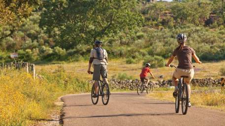
For road cycling, following the entire Portuguese coast, Eurovelo 1 - Rota da Costa Atlântica has three sections in the Alentejo, which highlight the variety of the coastline: the cliffs of the Natural Park of the Southwest Alentejo and Costa Vicentina, the Nature Reserve of Santo André and Sancha lagoons, endless sandy beaches, rice fields and, last but not least, the Natural Reserve of the Sado Estuary, land of fishermen and dolphin sanctuary.
With so much variety, it will be difficult to choose a route and where to start. Whatever you choose, you will always appreciate the best Alentejo has to offer: the hospitality of the Alentejo, the diversity of landscapes, the richness of its heritage, the pleasant climate from September to May, the delicious gastronomy and the wines, and the quality of the service offered to every level of participant.

What is the route?
No results were found matching your search. We suggest changing the filters used.

Close
Search results for:
No results were found matching your search. We suggest changing the filters used.


