To view more routes from your previous selection
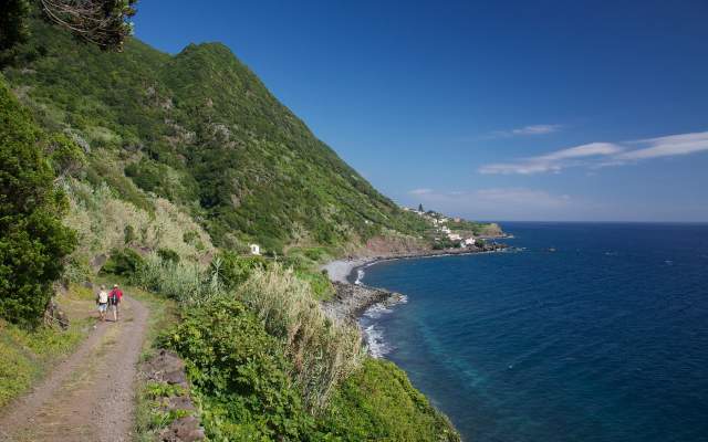
We invite you to discover and to venture onto the trails Trilhos dos Açores, the official network that overall consists of 80 footpaths that cover a total distance of more than 800 km. Taking advantage of the mild climate that prevails throughout the year, we suggest one tour per island, so that it is possible to visit the most beautiful and iconic parts of each of the 9 islands of the Azores, at any time of the year.
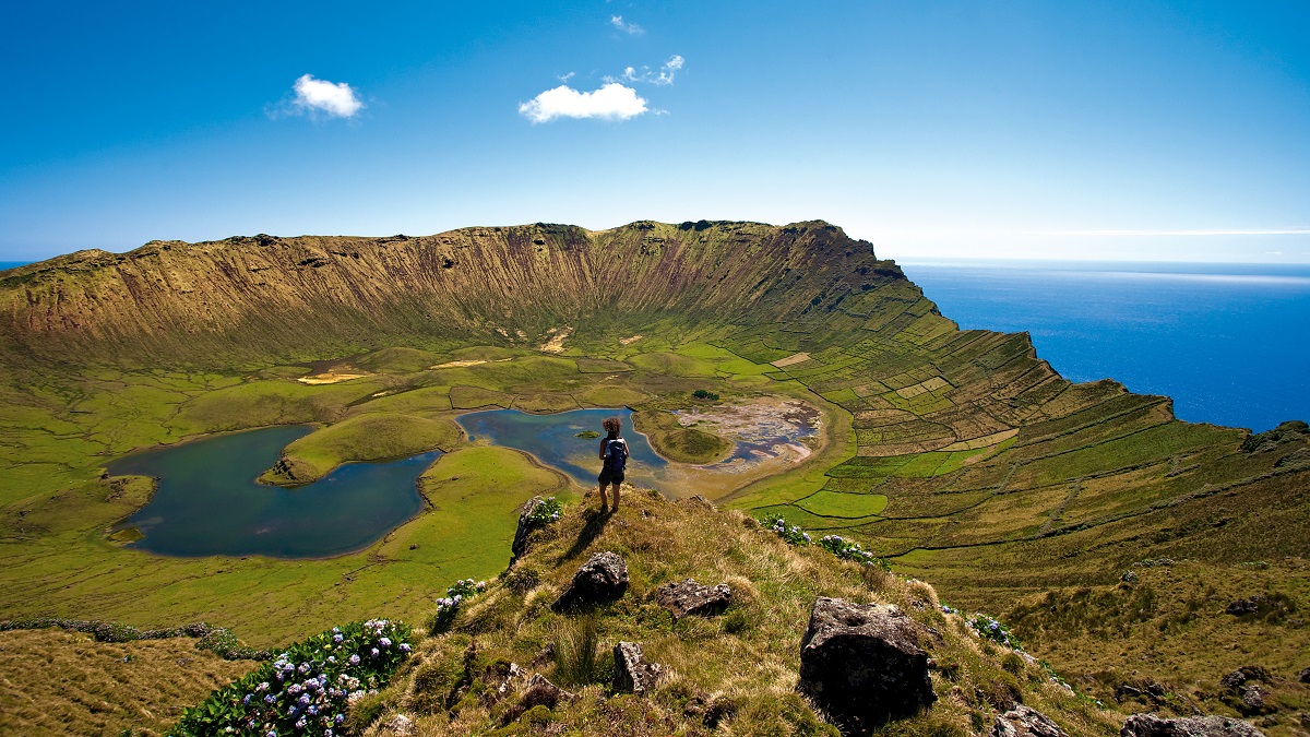
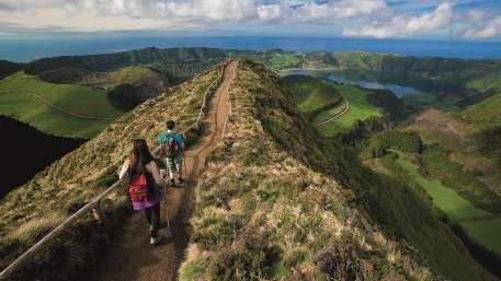
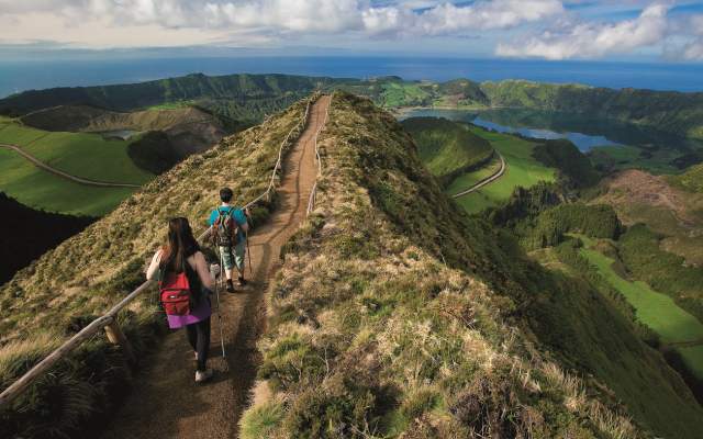
The Corvo Caldeirão (volcanic crater) and Lagoa das Sete Cidades are examples of huge craters formed by collapse and now containing lakes. The protected landscape of Lagoa das Sete Cidades is considered one of the 7 natural wonders of Portugal, in the category of non-marine aquatic areas.
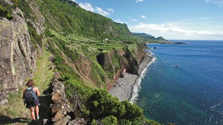
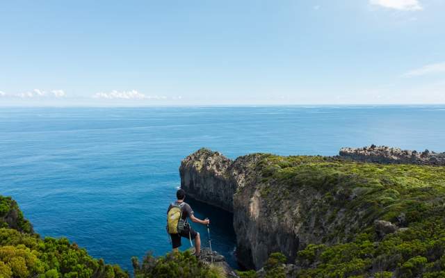
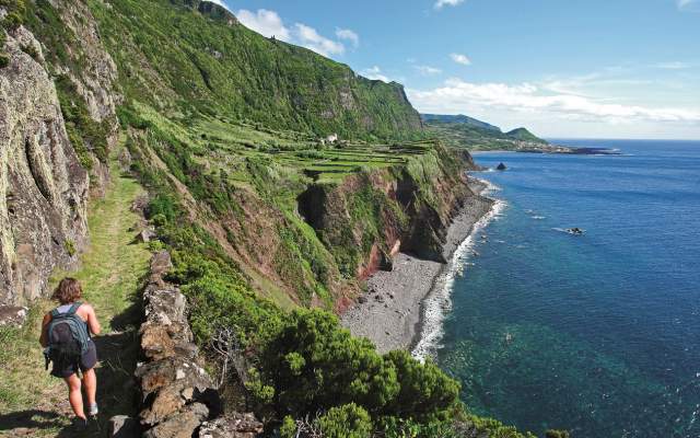
Fajã Grande on Flores and the fajãs [flat coastal features formed by lava flows or collapsed cliffs] on São Jorge, considered Biosphere Reserves, bear witness to the beautiful coastal scenery, with high cliffs where descending streams cause huge waterfalls. Flores has been nicknamed the regional capital of waterfalls.
Rocha do Chambre - Terceira, and Dez Vulcões - Faial, show you two different kinds of crater, whose volcanoes were responsible for the most recent eruptions on land on these two islands (1761 on Terceira and 1957/8 on Faial). The Capelinhos Volcano, where the Dez Vulcões (‘Ten Volcanoes’) route ends, is unique in the archipelago and regarded as a geosite of international relevance.
For the more adventurous, who want to explore an island in its entirety, we recommend the Grandes Rotas (‘Great Routes’) on Graciosa and Santa Maria, covering distances of 40 km and 78 km, respectively, that allow you to delve into the most beautiful corners of these islands, which have the lowest rainfall rates in the archipelago.
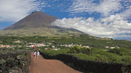
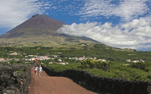
For a demanding challenge, but rewarded by superb views over the 5 islands of the Central Group, we recommend a climb to the highest point of Portugal - Pico Mountain.
If you fancy trying this route, find out about Programmes offered by a range of companies, if you prefer an organised tour or need information about support Services that you’ll find along the way.
Types

Which Trails?
No results were found matching your search. We suggest changing the filters used.

Programmes
View MoreClose
Search results for:
No results were found matching your search. We suggest changing the filters used.


