To view more routes from your previous selection
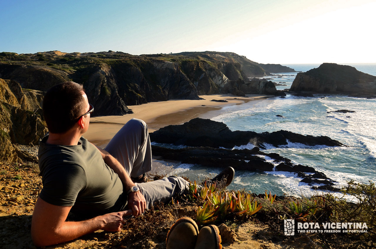
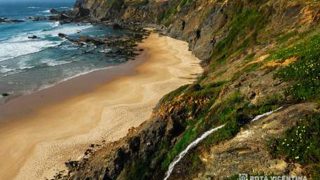
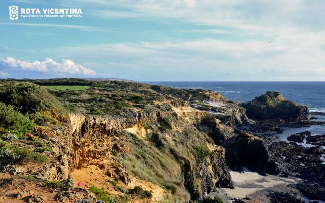
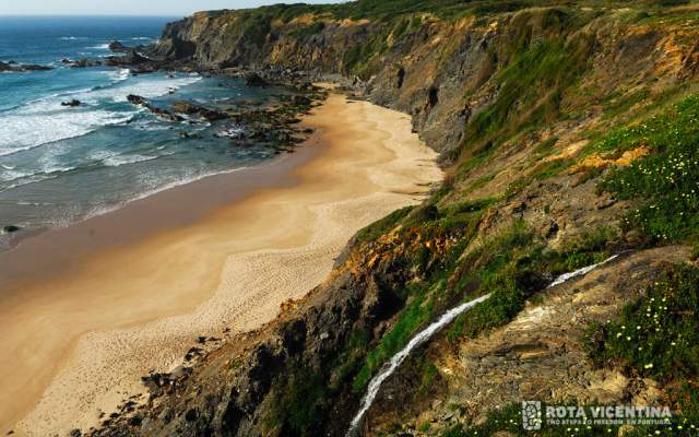
We invite you to discover the Rota Vicentina, among the contoured cliffs of one of Europe’s most beautiful and well-preserved coastal areas. This network of pedestrian trails located in the Southwest of Portugal extends over 450 km, crossing the Algarve and Alentejo regions, and comprises the Caminho Histórico, the Trilho dos Pescadores and several other Circular Trails in the Southwest Alentejo and Vicentine Coast Natural Park.
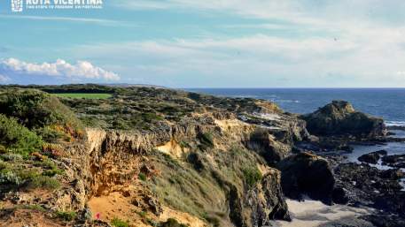
The “Trilho dos Pescadores” extends by the sea through trails that give access to beaches and fisheries over a total of 125 km between Porto Covo and Cabo de São Vicente. This itinerary is demanding and exclusively pedestrian. It is organized in five stages and four complementary trails, representing a challenge due to the permanent contact with the sea winds, the coastal landscape roughness and a wild and relentless nature.
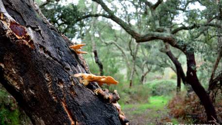
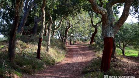
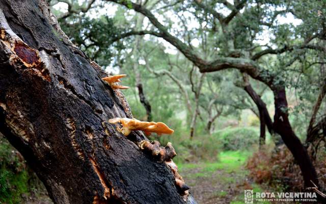
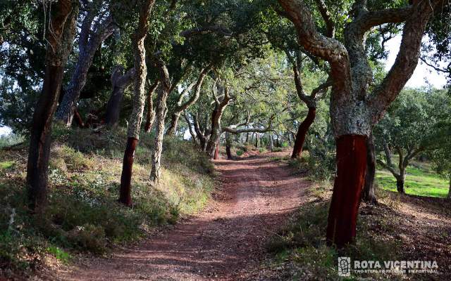
The Caminho Histórico is a Large Route with 230 km , beginning in Santiago do Cacém and ending in Cabo de São Vicente. This route is divided in 12 stages and extends across forest trails and historical villages and towns, with sections of montado (dehesa), mountain, valley, rivers and water streams. It can be made by bike or by foot. This trail was awarded with the European Certification of “Leading Quality Trails – Best of Europe” granted by the European Ramblers Association (ERA), being therefore included in the exclusive set of best European Trail destinations.
This route is signalled and can be made in both ways, in a fully autonomous and safe way, preferentially between September and June. Each stage extends over a maximum of 25 km, so visitors can plan itineraries at their discretion and according to their personal preferences or fitness level. You can travel through this route over several days in a sequential way and enjoy the several associated accommodation units, visit local monuments and taste the exquisite gastronomy of the Alentejo and the Algarve, as this route extends over both regions.
Explore the Rota Vicentina by foot and plan your trip. Please check the companies’ Programmes in case you wish to enjoy an organized trip or all available support Services you may find along the way.
Types

Which Trails?
No results were found matching your search. We suggest changing the filters used.

Programmes
View MoreClose
Search results for:
No results were found matching your search. We suggest changing the filters used.


